Itineraire
PIC DE BACANÈRE PAR LA CABANE DE SAUNÈRES
- Foot
Steps
- Step 1
- Park by the road before the village of Artigue. Drive through the village of Artigue. At the exit, after the church, take the track leading up to the pastures.
- Step 2
- Walk slowly up this good track. At the various junctions you come across, regularly follow the red/white markings for the GR 10 or n°65 as well as the "cabane de Saunères" signs.
- Step 3
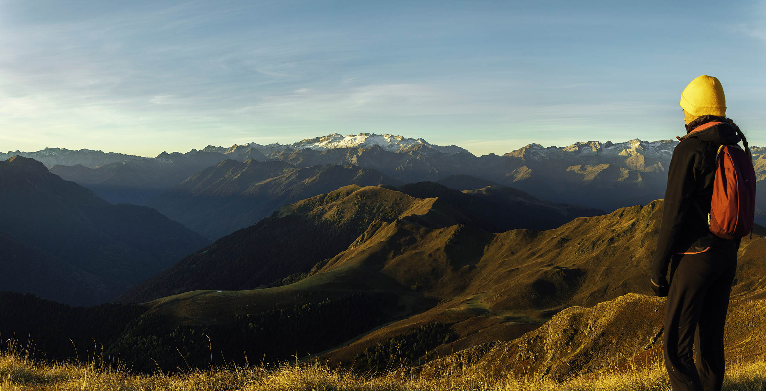
- As you leave the forest, the track twists and turns up to the Saunères hut (1675m). The panorama is already superb!
- Step 4
- Continue along the path above, marked GR10 or n°65.
- Step 5
- Join the Serrat de Crespes ridge just above and continue along it to the small Col de Peyrehitte (1944m). The Peyrehitte hut is below.
- Step 6
- At the Col de Peyrehitte, follow the GR10 to the left. The path runs horizontally along the side of the Plan de Montmajou as far as the Col des Taons de Bacanère (1975m), where there is a laquette.
- Step 7
- Continue along the grassy ridge to the Pic de Bacanère (2193m, boundary marker 401).
- Step 8
- The return journey takes the same route.
Itineraire
PIC DE BACANÈRE PAR LA CABANE DE SAUNÈRES
31110 ARTIGUE