Steps
- Step 1
- Park your vehicle at Place de la Gerle, along the Garonne, cross the small bridge and follow the red and white markings of the GR 86.
- Step 2
- The path climbs up a small road (Chemin de Rouere) to reach the houses on the heights of Saint-Béat.
- Step 3
- Turn right onto the pretty cobbled street and note the charming wash house on your left. Be careful from here on, as the path is steep and lined with chestnut trees.
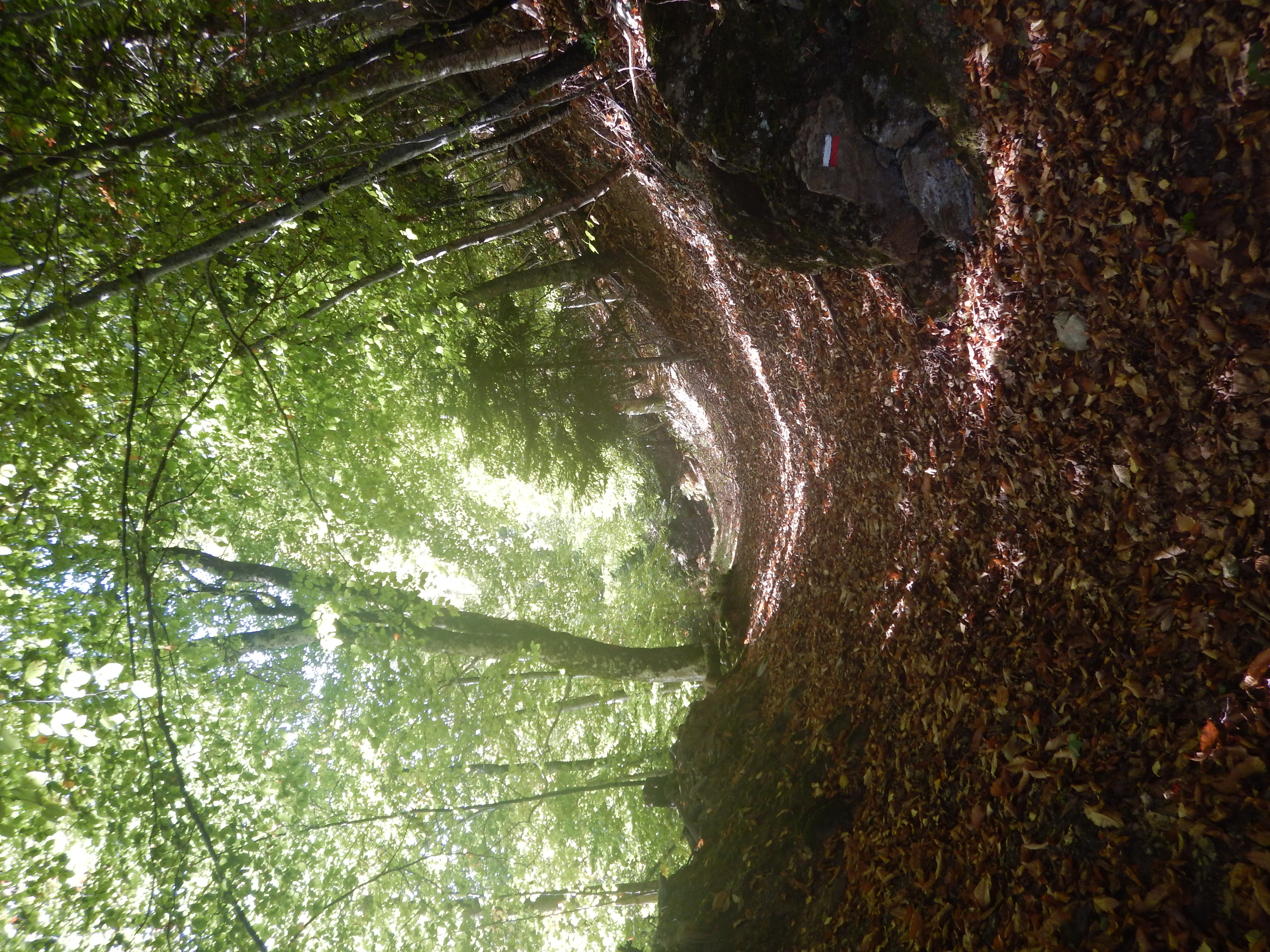
- Step 4
- Stay in the forest, the path remains steep. You will see a pretty barn ruin (800m).
- Step 5
- When you pass under the high-voltage power line, you will arrive in the immediate vicinity of the Col de Couret.
- Step 6
- You have reached the first destination at an altitude of 925m. You will arrive among ferns. Continue straight ahead on the GR86 towards Marignac.
- Step 7
- Cross the ferns, keeping an eye on the markings, take the path on the left and then turn right.
- Step 8
- The wide path descends steeply, passing under the high-voltage power line (800m) and you will see the picnic area. Continue downhill until you reach the junction of the forest track and the road (Rue de la Chapelle Saint-Martin).
- Step 9
- Turn right, the road runs alongside the clay pigeon shooting range on your right. After a short climb, you will reach the Saint-Martin chapel (580m).
- Step 10
- Take the path down into the forest, alongside a property. You will arrive at the Saint-Roch junction (522 m) in the village of Marignac.
- Step 11
- Take Rue Detch Pouy opposite you, cross the main road and turn right into Rue Louis Pasteur. You will rejoin the main road. Follow it until you reach the Pujo de Marignac picnic area.
- Step 12
- Take the path going uphill on the right (yellow signposting), which overlooks the road. Follow the fence around a property (signposting is sporadic in places).
- Step 13
- After a short rocky section, turn right to join a track leading down to the Géry sculpture trail.
- Step 14
- Take the path down to the right to reach the Géry car park, turn right, walk about 100 metres and then turn left towards the Rapp neighbourhood.
- Step 15
- Walk for 1 km before reaching the main road. Please note that there is only a cycle path for walking along the road
Itineraire
LE COL DE COURET
Place de la Gerle
Parking de la Gerle
31440 SAINT-BEAT-LEZ
Parking de la Gerle
31440 SAINT-BEAT-LEZ