Itineraire
89 – COL DE LAUACH
- Foot
- Trail
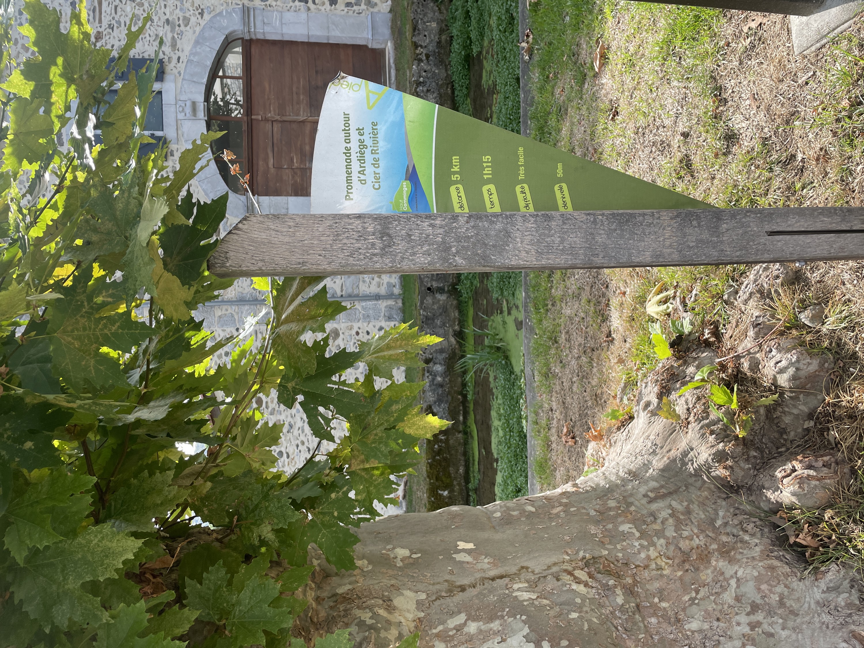
Steps
- Step 1
- From the town hall square, cross the village towards the church. Leave the road and take a track on the left that descends and then climbs back up towards the woods.
- Step 2
- Follow a path along the edge of the forest before rejoining the D33
- Step 3
- A few clearings in the forest offer superb views of the Sauveterre-de-Comminges basin, with the Gar and Cagire mountains in the background. Take a path on the left that climbs through the woods, then turn left again 300 metres further on.
- Step 4
- Descend towards the meadows of Aumasc.
- Step 5
- You will come to a small road. Turn left to reach Cier-de-Rivière by following the signs, or turn right to reach Ardiège and then Cier-de-Rivière.
Itineraire
89 – COL DE LAUACH
Place de la Mairie
31510 CIER-DE-RIVIERE
31510 CIER-DE-RIVIERE