Steps
- Step 1
- From the Vallée du Lis car park, cross the stream on your left and follow the small tarmac road for a few metres.
- Step 2
- A little further on, signpost no. 32 indicates that you should take the path climbing up on your left. You will quickly enter the forest. The path climbs steadily in hairpin bends.
- Step 3
- Just below, you will be able to look down on the Lac Vert, the Lis valley and the Superbagnères resort.
- Step 4
- A little further on, you will leave the forest and arrive at the Artigue meadow (1,395 m). Take the path climbing up to your left. You will re-enter the forest and follow the Houradade stream. Admire the various waterfalls along the way.
- Step 5
- At the next intersection (1,680 m), turn right towards the Maupas refuge (sign). Cross two footbridges and the path climbs steeply through hazel trees. A small pass (1,755 m) leads to a small plateau. The path continues to climb straight ahead. It winds upwards and you will see the penstock on your right.
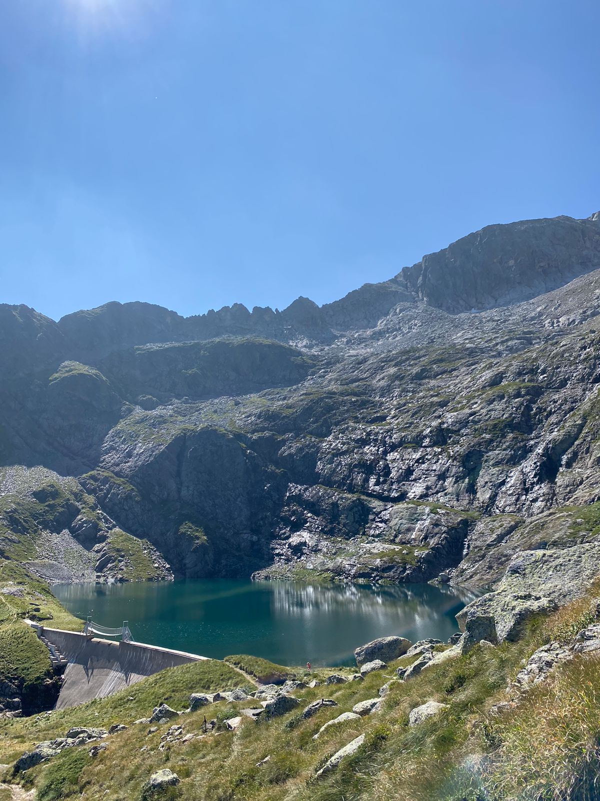
- Step 6
- Pass the ""pumping station"" (2,232 m) and a few minutes later, at the intersection, turn left. With a little more effort, you will pass the rocky ridge equipped with a handrail (2,354 m) and come to the short descent leading to Lac Bleu (2,265 m).
- Step 7
- Return via the same route.
Itineraire
32 – LE LAC BLEU
Parking Vallée du Lis
31110 BAGNERES-DE-LUCHON
31110 BAGNERES-DE-LUCHON